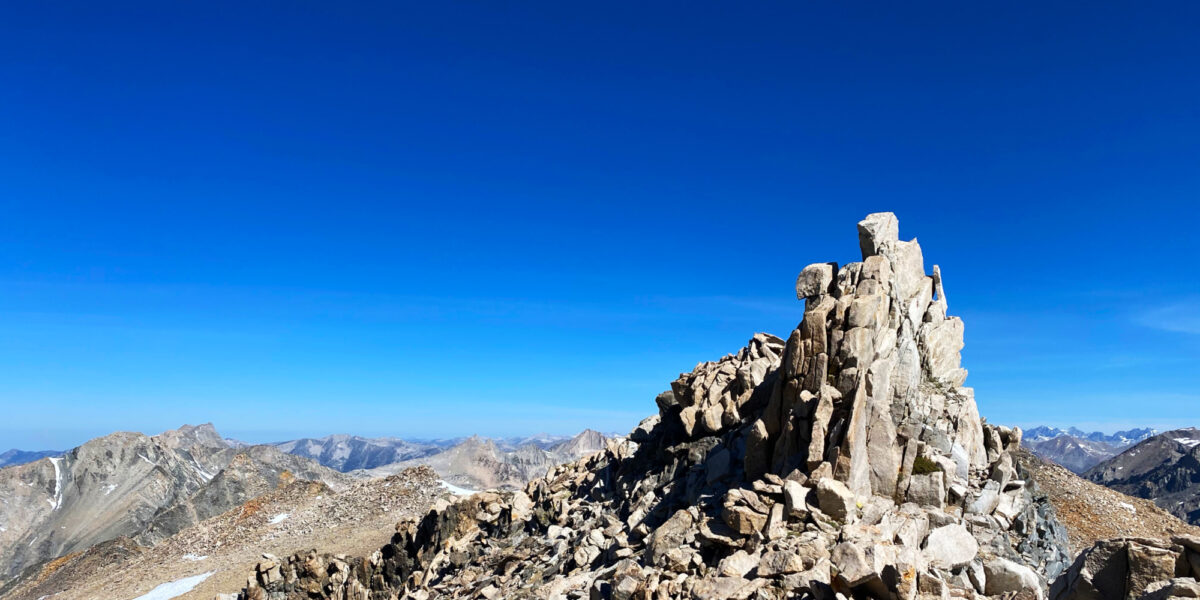
W6/NC-268, Rocky Ridge — The Hard Way

Activation Date: 17 June 2017
Transport: Run/Hike Distance: 10.5mi
Elev. gain: 2,700ft Time: 3 hours
Rig(s): FT-817 Band(s): 40m, 20m SSB
Antenna(s): Home-brew end-fed half-wave
Cell Service: Spotty (T-Mobile)
Parking: Free in paved lot at trailhead
Trailhead: Rancho Laguna Park – east side of park
Fees/Permits: EBMUD trail permit—I bought the 12-month permit
Route: Rancho Laguna Trail to Rocky Ridge Trail
Dogs: No Toilet: Near trailhead

I had originally planned on activating an as-yet unactivated summit this weekend. However, upon doing further research, I discovered there wasn’t a way to get to that summit on land open to the public. Perhaps I’ll write something about that in another post.  I still needed a summit require a 10-mile (or so) run with a decent amount of elevation, continuing my training for an upcoming trail race. So I hastily planned this interesting-looking summit an hour away from my house.

This wasn’t my first time doing a summit activation as part of a trail run, but it was my first time attempting to do it with HF. I don’t yet have the Morse/CW skills needed to carry a tiny rig, so I had to figure out how to carry my FT-817, microphone, mast, and antenna—in addition to all the normal items I need for a trail run (mostly water!).  I just barely managed to fit all of it in my running vest/pack, and hand-carried the 5m squid pole I use for a mast.

Trailhead

I ended up hitting the trail around 7am. This was a bit later than I had wanted to start.  I knew it would be getting hot later in the day, and I had a Father’s Day trip planned for later in the day.  There’s a paper log/register at the trailhead. Most people seemed to be doing King’s Canyon trail. Actually everyone seemed to be doing King’s Canyon trail.  As it would turn out, I was the only one going to Rocky Ridge (at least, via this route).

Right away, the trail climbs a little bit through the woods, and came to the first of many gates used to contain grazing cattle.

First gate

It started out gently enough, if somewhat overgrown for the first bit. Then things started getting crazy.

Most of California had quite the rainy season. Enough to end the drought. This turned lots of trails into mud. Combine that with grazing cattle using the trail, and countless field mice burrowing. When it dries, it’s an ankle-twisting minefield! Another effect of the rainy season—especially this one—is that everything grows. There were parts of the trail so overgrown with grass, thistle, and other plants, I had to resort to light cross-country route-finding.

Rocky Ridge off in the distance

It did appear as though work was being done to get the trail back to a more passable condition. Large sections had had the grass mown. In some cases, this made it harder to see the ankle-twisters, but overall made travel faster.

The route climbs for a while, then drops down into a little valley with an easily-crossed creek. Then it starts climbing again—usually pretty steeply.

Buckhorn Creek

As you get higher, the views really start to open up.

The Rocky Ridge trail meets up with the Callahan Road after climbing for a couple of miles. The first bit of the road was pretty overgrown, but the grass wasn’t quite as tall and travel was faster. However, I did get a little bit complacent while running a little flat section—I tripped on a grass-hidden rock and landed hard on my side. This isn’t too uncommon in trail running, and it’s all about how you fall.  Even though bruised and a bit scraped up, this was one of the good falls.

After climbing a little bit more, I came across a section of the road that had been bulldozed to remove overgrowth and flatten it. Much easier!

The nice, pleasant bulldozed section didn’t last for long. The route meets up with the Rocky Ridge Loop Trail, and things get super steep and overgrown again. The steepness doesn’t last for long—there’s only so much climbing you can do before the top approaches! This section, even though overgrown, was quite pleasant, since I was in the shade of the ridge above. Then the trail goes through a nice, wooded area on the north side of the ridge.

Rocky Ridge Loop Trail (north side)

After the wooded area, you pop out onto the summit ridge and can see the antenna tower. To the left you can see a hint of the paved road that goes to the summit. At this point I was feeling a bit like I wished I had taken the easy way, but did have a nice feeling of accomplishment, having battled my way to the top.

North side of Rocky Ridge, looking south

After a short walk up to the ridge, I reached the high point, right next to the tower complex at the top.

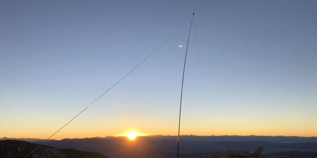
A barbed-wire fence runs along the ridge. I attached my 5m “squid pole” to this, and attached the end of my end-fed wire to the top of the pole. I got that end of the wire up to around 18 feet or so with that setup, sloping south to my QRPKits SOTA Tuner, which I had connected directly to the front antenna port of my radio. The wire is a half-wavelength for 40m.  It also works on 20m.

I don’t know if it was my antenna setup, or the light solar storm happening, or the time of day (around 9am), but the contacts didn’t come easily. I’m thinking that if I can’t get the wire up super-high, I might try an inverted-V setup in the future.  Anyway, I did make three contacts on 40m in fairly short order, but then that dried up. After calling CQ for a while, I switched over to 20m.  I made one very difficult contact with a station in Southern California.  Yeah, I’d say the radiation angle wasn’t quite right for 20m, since that shouldn’t even be one hop. I called CQ for a little while longer, but noticed it was getting quite hot. I packed up and got out of there.

I didn’t stop to take photos or anything else on the way down. The temperature had shot up dramatically, and it began to wear on my body. By the time I got to the uphill section of the route back, I was walking up the hills at a crawling pace, but still able to run most of the downhill section.  I sipped water frequently, and only ran out of it with a half-mile of the trip remaining.

This ended up being the hardest 10.5 miles I’ve ever run/hiked, but it was still fun, and I got the summit activation done!

Activation log:

Time Call Band Mode
16:06z NG6R 7MHz SSB
16:08z W7RV 7MHz SSB
16:10z K7ZO 7MHz SSB
16:18z KK6QMS 14MHz SSB

Thanks to all the chasers who were able to make contact!