Quick Info:
| Activation Date: 19 August 2023 | Summit: W6/SS-101 |
| Transport: Hiking, Class 2 steep off-trail | Distance: 5.4 miles |
| Elev. Gain: 2450 feet | Time: 4.5 hours |
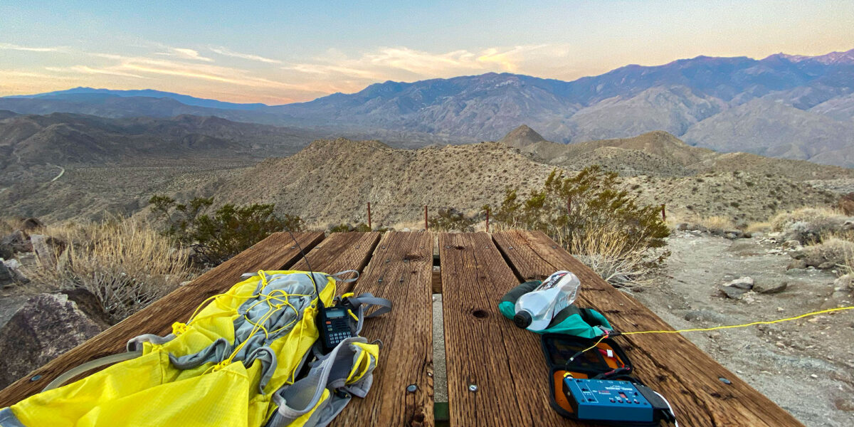
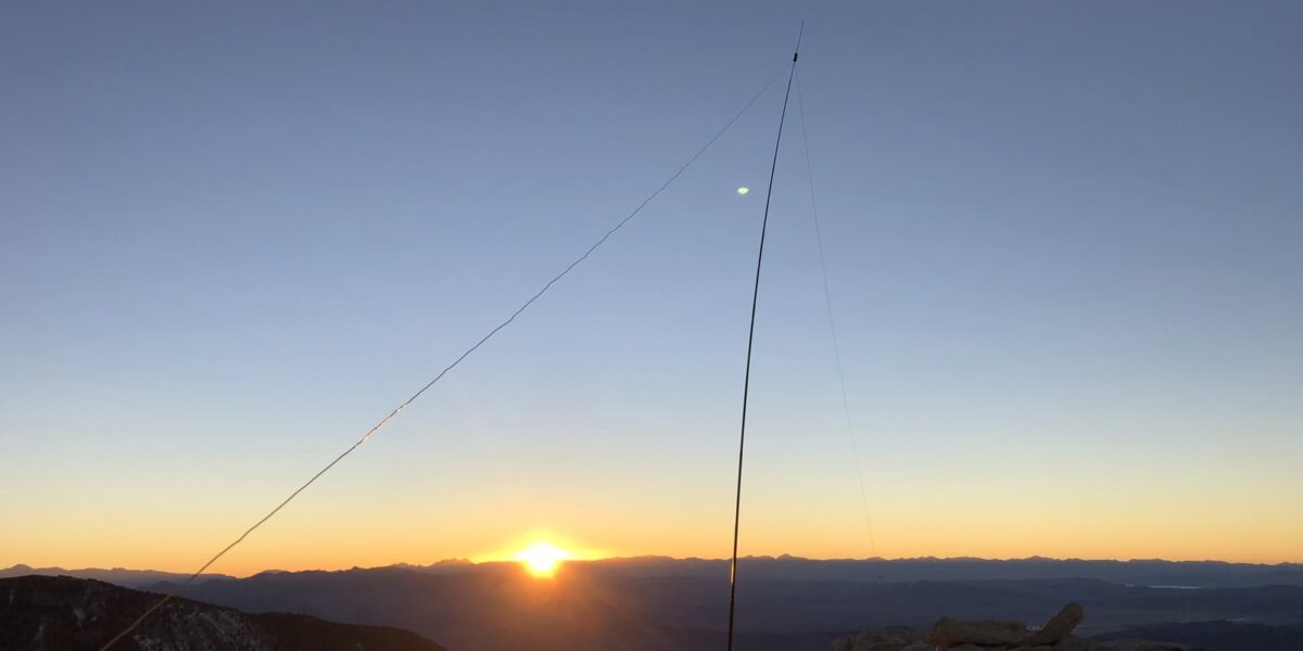
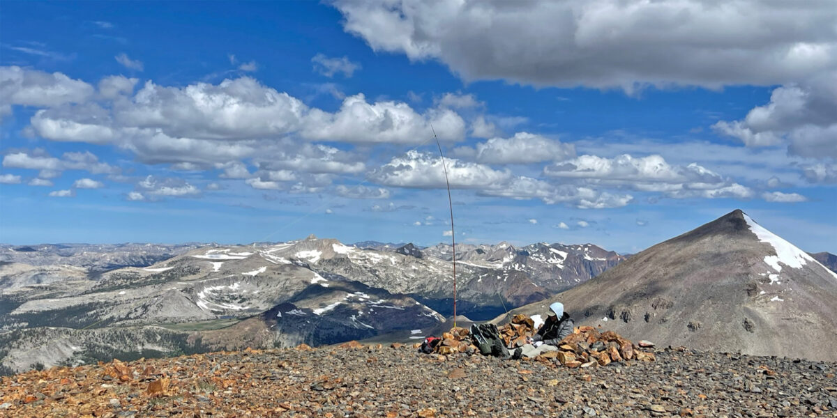
| Rig(s): MTR-3B, VX-6R | Bands: 40m CW |
| Antenna(s): Tri-band EFHW | Antenna Support: Mast in rocks |
| RF Noise: None | Cell Service: Marginal to None (T-Mobile) |
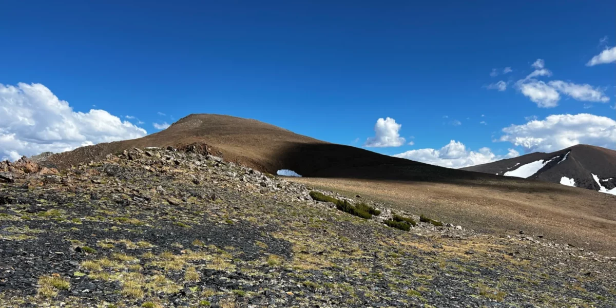
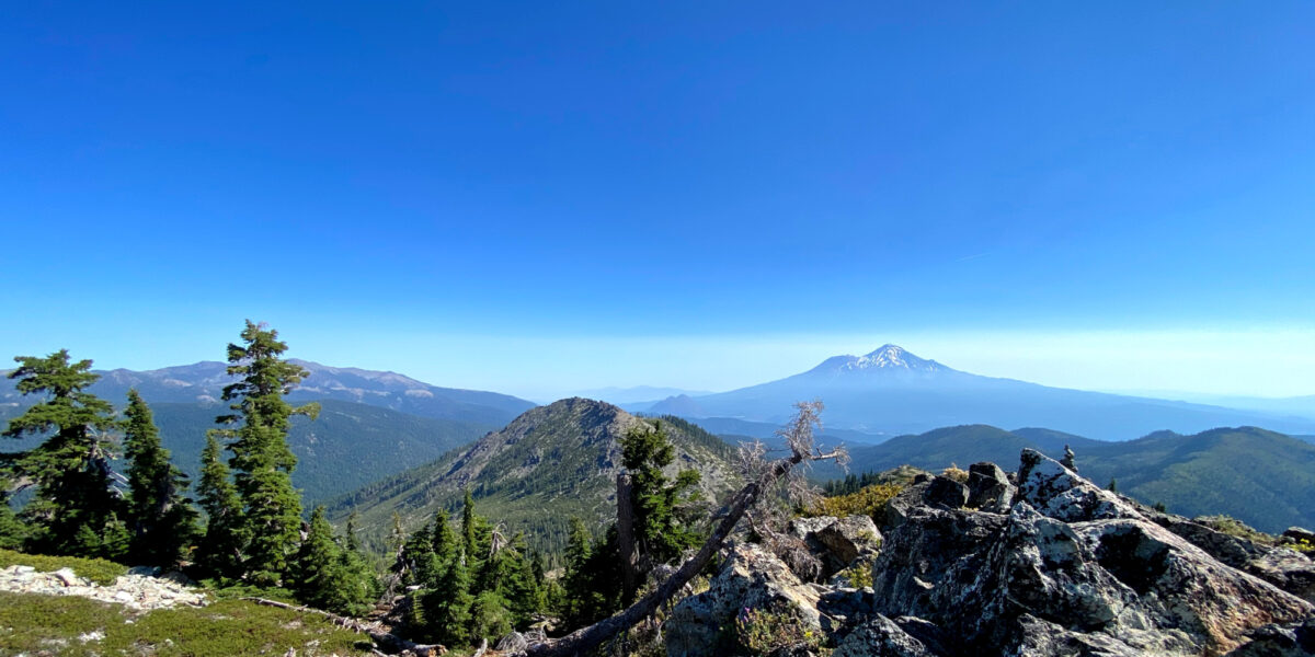
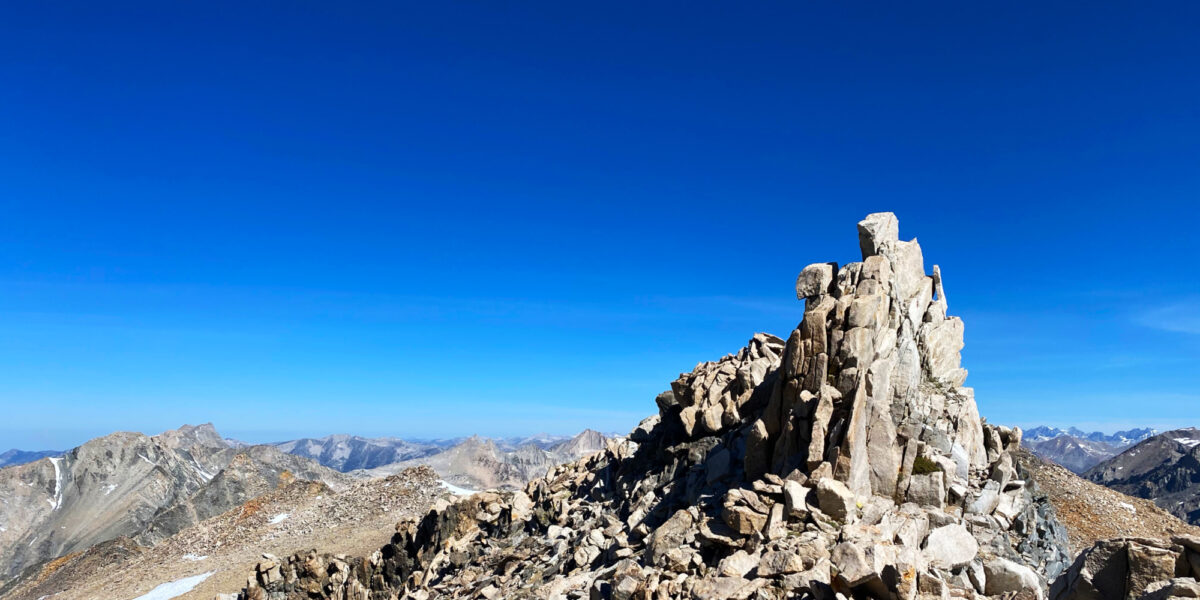
This is the second summit I did on this backpacking trip. We did Mount Lewis the afternoon before, and got a much earlier start for this one, knowing there would again be a chance of bad weather later in the day. I had originally thought about doing this summit as a combo on my way into the area for our backpacking trip. I was going to ascend Mount Dana, then traverse over to Mount Gibbs, finally descending from there to our camp at Upper Sardine Lake. Though I only slightly doubted my ability to do so with a 40-pound backpack on, in the end I decided not to do it that way since I wanted to hike in with the rest of the 4-person group I was camping with.
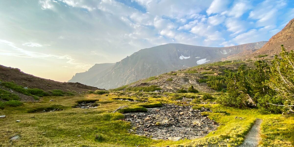
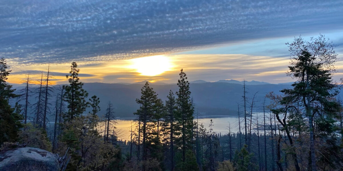
Our camp at Upper Sardine Lake was quite pleasant and the hike in went smoothly from the Mono/Parker Pass trailhead in Yosemite NP. The other way to get to Upper Sardine Lake is via the Bloody Canyon trail, but that route is harder, and apparently had been blocked by avalanche debris over the winter.
continue reading →