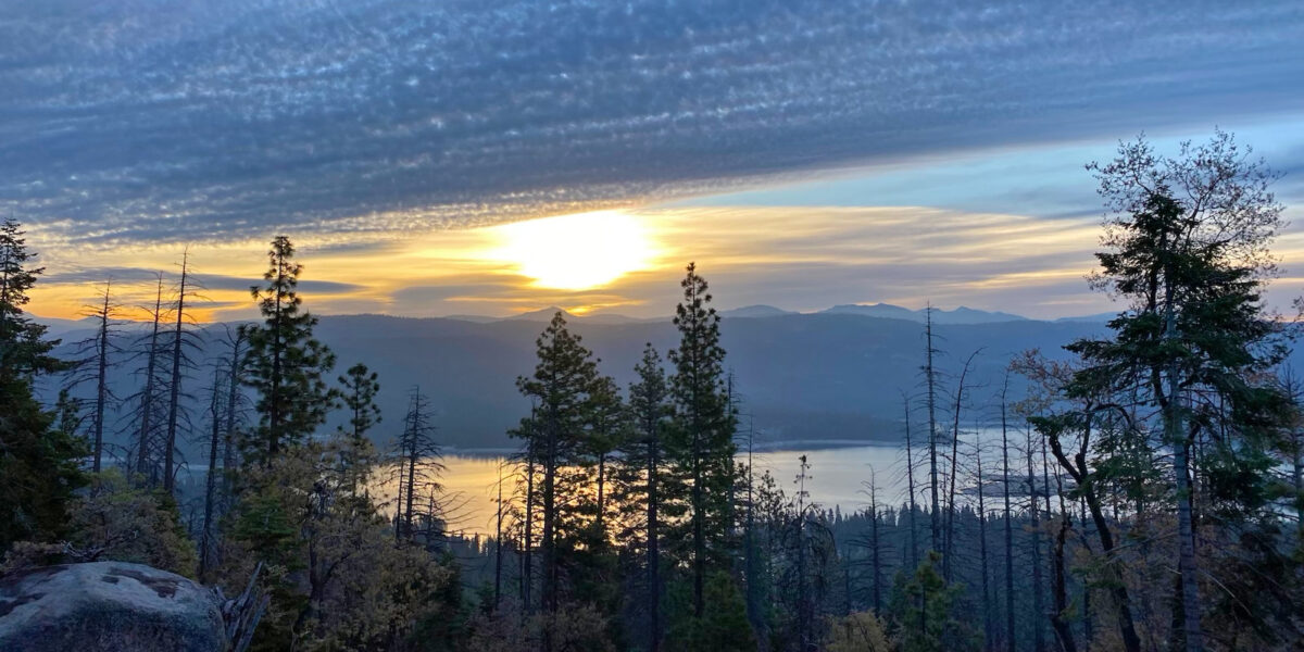
W6/NC-353, Burdell Mountain – 2018

Activation Date: 17 June 2018
Transport: Hike Distance: 4.8 miles
Elev. gain: 1225 feet Hiking Time: 2.5 hours
Rig(s): FT-817, VX-2R Band(s): 20m, 40m (cw + ssb), 2m fm
Antenna(s): End-Fed Half-Wave with QRPGuys Tuner
Cell Service: Moderate (T-Mobile)
ParkingSan Andreas Drive
Trailhead: San Andreas Drive
Fees/Permits: None
RouteMiddle Burdell, Cobblestone fire roads
Dogs: Yes – off-leash on fire roads Toilet: No
Antenna Support: Some trees RF Noise: Low

I did this summit late last year as my first morse code activation. Last time it was a combo POTA/SOTA activation. This time would be only SOTA.  And it was a heck of a lot warmer too!

Getting There

This is a simple drive to near the end of San Andreas Drive.  You’ll see the trailhead right next to the road, and all parking is on the road. When I went, there were several cars parked on the road, but still quite enough room for many more cars.

The Hike

The trailhead

We did the exact same route as last time.  It’s mostly exposed fire roads, so a little bit on the hot side if temps are high. But when we did this hike, it was around 75F, so not too bad.  As with last time, I was accompanied by my sons.

Starting the hike up to Burdell Mtn

We had our (almost) 13-year-old dog, Tashi with us. And Obi, our other dog that’s around 8 or 10 months old. They didn’t like the sun so much, so they were pretty relieved to reach the few sections with shade.  Actually, we were all relieved. It was pretty hot in the sun.

Slowly making our way to the top

Once we arrived at the top, I looked for a place to set up the hammock for the boys.  It took me a few minutes to find a spot that didn’t have poison oak. As it was, I had to tell them not to stray too far behind the hammock.

Set up and eating lunch on Burdell Mountain

Operation

Next, I set up the antenna pretty much as I had done before, with a little twist – I positioned the near end so that I’d be able to sit under the shade of a tree, instead of hanging out in the sun the whole time.

Antenna setup – operating position under the tree on the right

My Burdell Mountain ham radio station

I had a good view of the hammock and surrounding area during the activation, which made it easy to keep an eye on my boys and the dogs.

Boys playing with rocks

The activation went pretty smoothly.  I worked several contacts on 20 meters CW, then switched to SSB and got a few more.  I then switched to 40 SSB and got one, then CW for a few more there.

With the activation all done, I snapped some photos, including this one of all three of us.

Vokey boys on Burdell Mtn

After I got all packed up, I figured I’d give 2 meters a try. I made one contact there as I was walking off the summit. Right after that, I noticed my older dog, Tashi, wasn’t doing so well. I actually ended up having to carry her most of the way back down to the car.  She ended up being fine, but I think she might be getting too old for summits (at least in the warmer months).

Activation Log

Time Call Band Mode
21:57z K9PM 14MHz CW
21:58z NS7P 14MHz CW
21:59z KB9ENS 14MHz CW
22:00z NQ7R 14MHz CW
22:01z N6HCN 14MHz CW
22:03z K3TCU 14MHz CW
22:07z W5ODS 14MHz CW
22:14z W0MNA 14MHz SSB
22:15z N7MSI 14MHz SSB
22:16z K6ABM 14MHz SSB
22:20z K6HPX 7MHz SSB
22:27z NW7E 7MHz CW
22:29z KR7RK 7MHz CW
22:30z K6HPX 7MHz CW
22:31z K9PM 7MHz CW
22:32z W6TDX 7MHz CW
23:33z KG6OQK 144MHz FM

Map:

Download file: mount_burdell.gpx