I’ve been doing CW Academy for about 4 weeks now—I’m officially at the half-way point. We’ve got most of the letters/numbers, and we’re starting to move into prosigns and typical QSO lingo. Having recently gotten my end-fed antenna back up at my house, I saw a SOTA spot on 40 meters last night, Keith KR7RK on CW. I figured I’d give it a shot!
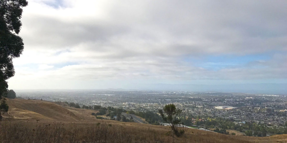
Chabot 2 Benchmark, W6/NC-432
| Activation Date: 30 September 2017 | |
| Transport: Hike | Distance: 1.8 miles |
| Elev. gain: 300 feet | Time: 40 minutes |
| Rig(s): FT-817, VX-2R | Band(s): 2m, 70cm FM |
| Antenna(s): 12.5-inch flex whip | |
| Cell Service: Excellent (T-Mobile) | |
| Parking: Small lot at trailhead, or side of road | |
| Trailhead: Fairmont Ridge Staging Area | |
| Fees/Permits: None | |
| Route: Fairmont Ridge, stay right of eucalyptus trees | |
| Dogs: Yes (off-leash area) | Toilet: No |
Well, it finally happened: I forgot a critical component of my system. I hiked up to the activation zone, got my antenna nicely set up in a tall tree, hooked everything up and went to turn on the radio—no power!
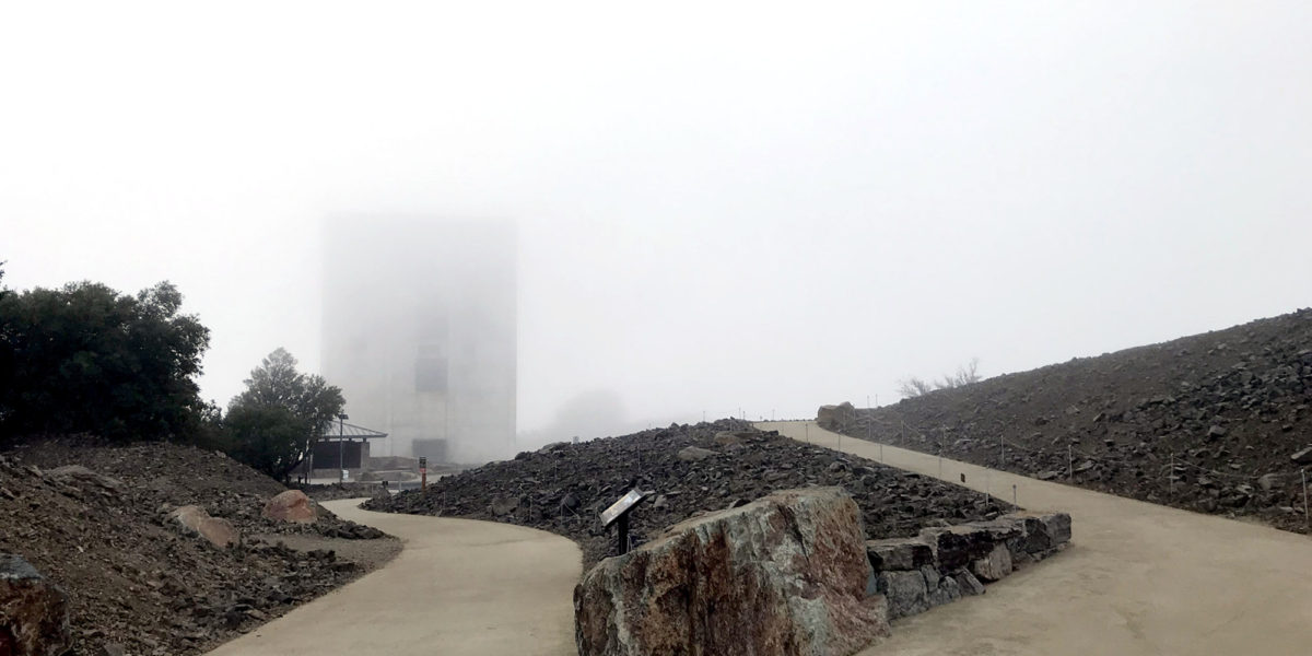
Mount Umunhum, W6/CC-052
| Activation Date: 20 September 2017 | |
| Transport: Hike | Distance: 159 stairs |
| Elev. gain: 100 feet | Time: 10 minutes |
| Rig(s): Yaesu VX-2R | Band(s): 2m, 70cm FM |
| Antenna(s): 12.5 inch flex whip | |
| Cell Service: Moderate (T-Mobile) | |
| Parking: Summit Lot | |
| Trailhead: N/A | |
| Fees/Permits: None | |
| Route: Walk up the stairs | |
| Dogs: No | Toilet: Yes |
Ever since moving to the SF Bay Area, I’ve wanted to explore this summit. When I first moved here about 10 years ago, I wondered what the big “cube” was on top of the mountain. After finding out what it was, and that it was closed to the public, I really wanted to go there. Having patiently waited years, the time finally came—it opened to the public on September 18th, 2017.
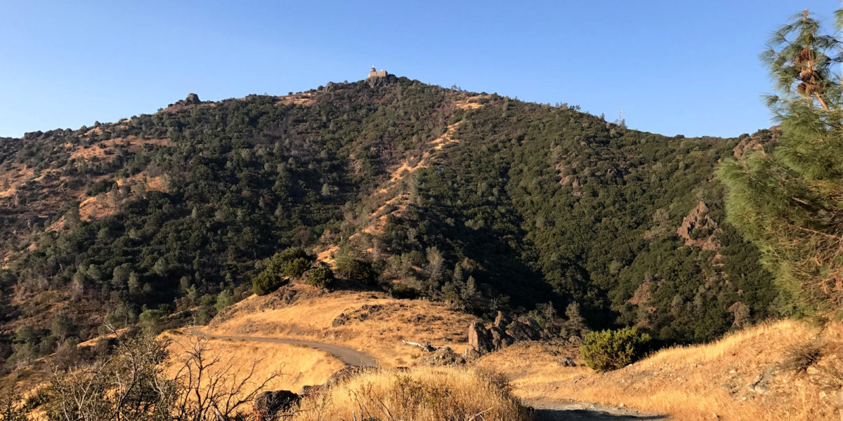
North Peak W6/CC-051 and Mount Diablo W6/CC-045
| Activation Date: 16 September 2017 | |
| Transport: Hike | Distance: 3.8 miles |
| Elev. gain: 1600 feet | Time: 1.5 hours |
| Rig(s): FT-817, VX-2R | Band(s): 40m, 20m SSB, 2m FM |
| Antenna(s): End-fed half-wave, 12.5 inch flex whip | |
| Cell Service: Moderate (T-Mobile) | |
| Parking: Side of road, at North Peak trail trailhead | |
| Trailhead: North Peak | |
| Fees/Permits: $10 vehicle day use | |
| Route: North Peak trail, un-named ridge trail to Mt Diablo | |
| Dogs: No | Toilet: Yes |
There are lots of ways to save time on an activation. One of them is to hike quickly and/or run. I often do this just for the fun of it, but also to save time and keep in shape. There are also lots of ways to waste time on an activation, such as getting half of your 63-foot antenna wire into a completely tangled mess!
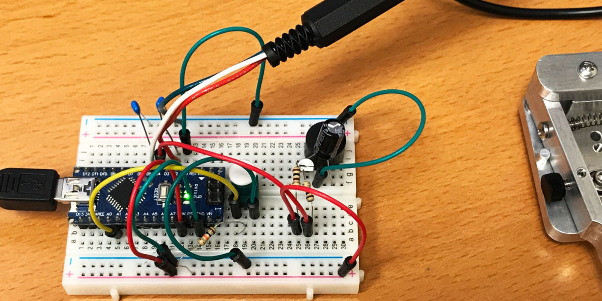
Update on Morse Code Journey: K3NG Keyer and CWOps CW Academy
Well, I’m 3 sessions into CWOps CW Academy, with the fourth happening tonight. So far, I’m really impressed. I’ve got a great advisor, and having some structure and accountability to learning morse code is really moving things along.
Bailey Ridge, W6/NS-219
| Activation Date: 2 September 2017 | |
| Transport: Drive/Hike | Distance: 3.5-5 miles |
| Elev. gain: 500 feet | Time: 1.5 hours |
| Rig(s): FT-817, VX-2R | Band(s): 40m, 20m SSB |
| Antenna(s): End-fed half-wave, 12.5 inch flex whip | |
| Cell Service: None (T-Mobile), Marginal (Verizon) | |
| Parking: Drive-up (high clearance), or side of road | |
| Trailhead: Forest Route 6N45 | |
| Fees/Permits: None | |
| Route: Forest Route 6N45 | |
| Dogs: Yes | Toilet: No |
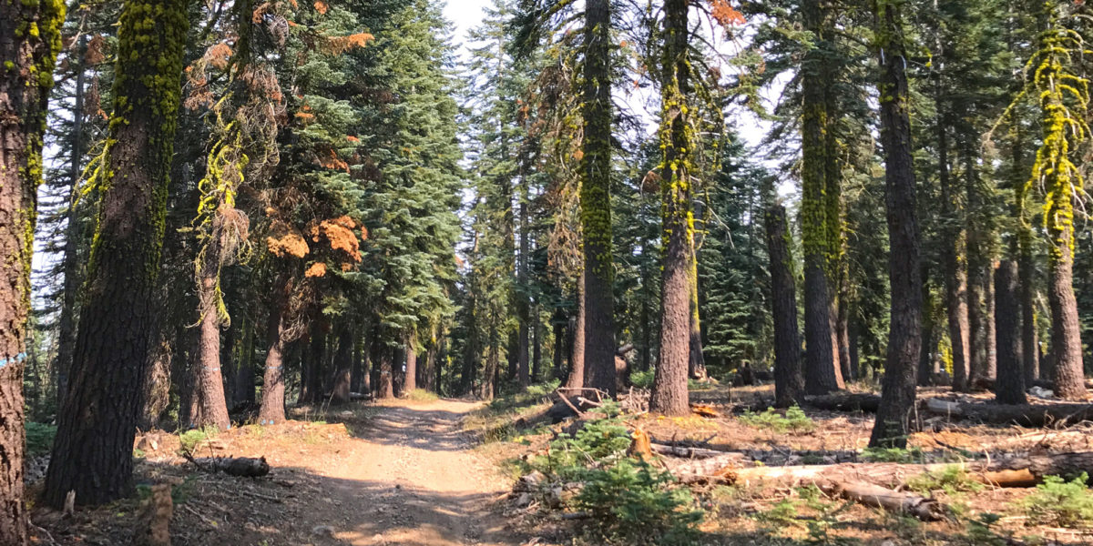
I was on a camping trip in nearby Calaveras Big Trees State Park and this looked like a fairly easy activation that would allow me to slip away for a couple of hours and have some SOTA fun. That wasn’t quite on the mark—the road ended up being a little rougher than expected.
Santa Rosalia Mountain, W6/CC-062
| Activation Date: 26 August 2017 | |
| Transport: Hike | Distance: 5.6 miles |
| Elev. gain: 850 feet | Time: 2 hours |
| Rig(s): FT-817, VX-2R | Band(s): 40m, 20m SSB |
| Antenna(s): End-fed half-wave, 12.5 inch flex whip | |
| Cell Service: Marginal/None (T-Mobile) | |
| Parking: Side of road, Highland Way and Buzzard Lagoon Rd | |
| Trailhead: Buzzard Lagoon Rd | |
| Fees/Permits: None | |
| Route: Buzzard Lagoon Rd, Aptos Creek Fire Rd | |
| Dogs: Not sure | Toilet: No |
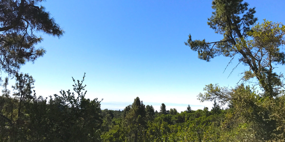
Hot, hot, hot! Well, for the SF Bay Area, at least. I chose this as a relatively easy, nearby summit that I hadn’t done yet. And with the hot weather in Silicon Valley, I figured I might have a chance of some cool ocean air, by getting closer to the ocean. Not so. I had decided to bring my 8-year-old son on this hike, after asking him if he’d like to go (and if he’d be happy working the radio with me, or finding something else to do for 30+ minutes). He said he’d like to look at trees and bugs. OK! I also asked my 6-year-old son if he’d like to go but he wasn’t initially interested. Come the morning of the hike, he changed his mind and they both wanted to go!
American Morse Equipment “DCP” Paddle
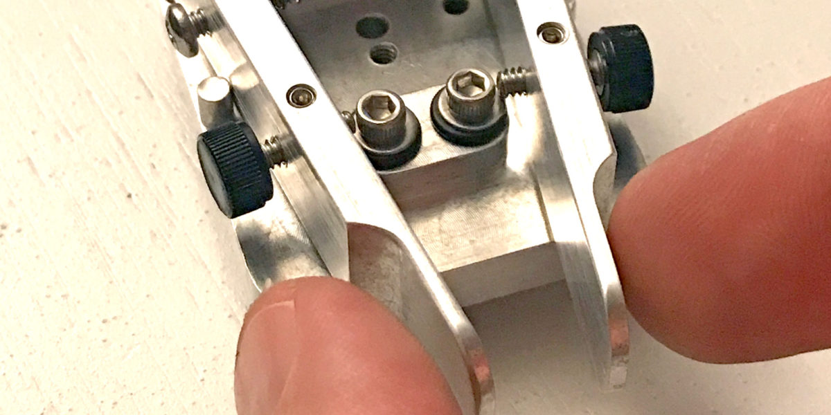
OK, so saying “DCP Paddle” is redundant. “DCP” stands for “Dirt Cheap Paddle.” While this paddle is inexpensive compared to a lot of morse/CW paddles out there, I would definitely not call it “cheap.” It is exquisitely designed and expertly machined by Doug W6AME of American Morse Equipment. I don’t remember where I first heard about his paddles and keys, but I knew I had to have one as soon as I saw it. The DCP is the least expensive paddle he makes (hence the name) but doesn’t lack quality. I have a pretty tight budget for my ham activities and equipment, so I was holding off on getting one until I really needed it.
Oak Hill, W1/HA-179
| Activation Date: 14 August 2017 | |
| Transport: Car | Distance: 25 yards |
| Elev. gain: N/A | Time: 5 minutes |
| Rig(s): FT-817, VX-2R | Band(s): 40m, 20m SSB |
| Antenna(s): End-fed half-wave, 12.5 inch flex whip | |
| Cell Service: Excellent (T-Mobile) | |
| Parking: At the top of the hill | |
| Trailhead: N/A | |
| Fees/Permits: None | |
| Route: N/A | |
| Dogs: Yes | Toilet: No |
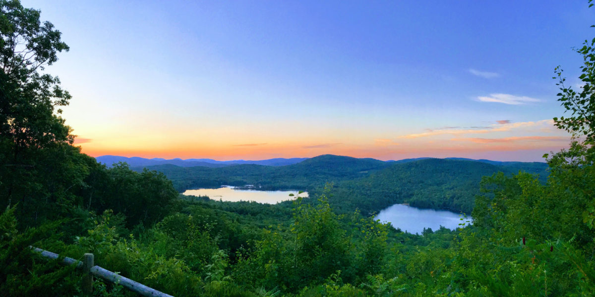
For my family reunion, most of my siblings and I stayed at a chalet in Madison, New Hampshire. Very near where we were staying was this drive-up SOTA summit. I actually ended up visiting several times, and doing SOTA operations twice. The view is absolutely amazing. The day I activated this summit, I tried twice. The first one, at sunrise, was completely unsuccessful with zero contacts made. The second one, at sunset, was successful, but zero points with only three contacts made.
Mount Washington, W1/HA-001 and KFF-2667
| Activation Date: 11 August 2017 | |
| Transport: Hike | Distance: 9.5 miles |
| Elev. gain: 4000ft | Time: 6-7 hours |
| Rig(s): FT-817, VX-2R | Band(s): 40m, 20m SSB |
| Antenna(s): End-fed half-wave, 12.5 inch flex whip | |
| Cell Service: Marginal (T-Mobile) | |
| Parking: Ammonoosuc Ravine Trailhead | |
| Trailhead: Ammonoosuc Ravine | |
| Fees/Permits: $5 Day Use (cash) | |
| Route: Ammonoosuc Ravine Trail, Crawford Path, Gulfside Trail, Jewell Trail | |
| Dogs: Yes | Toilet: Yes |
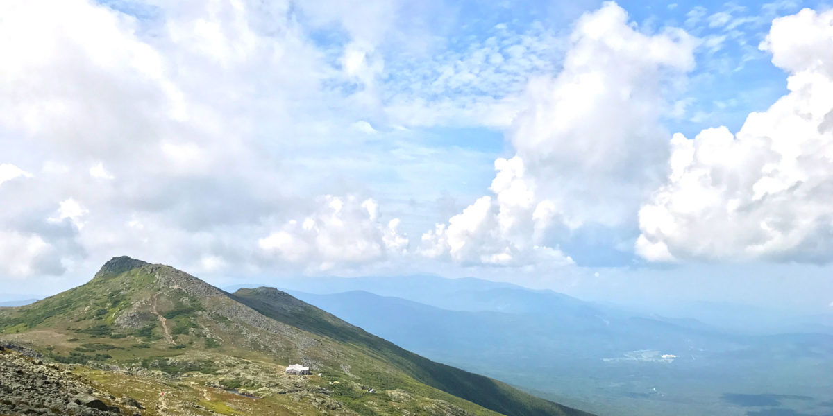
Ever since hearing about Mount Washington as a kid, I’ve wanted to go to the top. My father would tell stories of driving to the top, and having the brakes smoking on the way down. Decades later, as an avid hiker and SOTA enthusiast living on the west coast of the United States, it still called to me, but it was over 2600 miles (4184km) away. So when plans for a New England family reunion started coming together for this August, I knew the chance had come.
