Learning Morse Code to Operate Continuous Wave (CW)

For a very long time—even before becoming a ham—I’ve wanted to learn Morse code.  As a child, this “secret” code fascinated me. As I grew older, the fascination remained. As a geeky adult wanting to get in to ham radio, it was a barrier to entry. Then, getting my general class amateur radio license in 2015, my interest was renewed, even though it was no longer a necessity.

The magic of radio has always been just that for me—magic. I know how it works, a lot more so than I did before studying to get my ticket.  But it’s still magic. So in my amateur radio journey so far, I’ve looked for ways to maximize the magic. And there are so many ways to do this in the hobby.  To me, one of these is CW (Continuous Wave) operation, using Morse code. Continue reading →

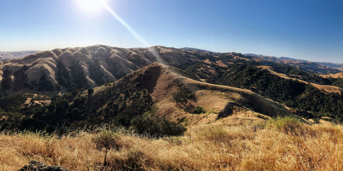
W6/NC-516, Maguire Peaks

Activation Date: 22 June 2017
Transport: Run/Hike Distance: 5.6 miles
Elev. gain: 1,400ft Time: 1.5 hours
Rig(s): FT-817 Band(s): 40m, 20m SSB
Antenna(s): Home-brew end-fed half-wave
Cell Service: Decent (T-Mobile)
Parking: Free, on side of road, near trailhead
Trailhead: Main Maguire Peaks trailhead, on Welch Road
Fees/Permits: Park fee, $5. Welch Rd permit, free. Not needed on weekdays.
Route: Maguire Peaks Trail, Maguire Peaks Loop Trail, Use Trail
Dogs: Yes, $2 fee on weekends  Toilet: No

I’ve done Maguire Peaks twice. Last time I did it has a normal hike (rather than a run). That was toward the end of last year. That trip was cold-ish (around 45F). This trip was the opposite.  Much of the southwestern United States is in the midst of a nasty heat wave. This includes Northern California. So I started early. Continue reading →

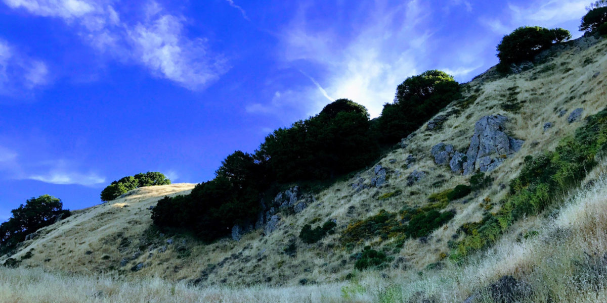
W6/NC-268, Rocky Ridge — The Hard Way

Activation Date: 17 June 2017
Transport: Run/Hike Distance: 10.5mi
Elev. gain: 2,700ft Time: 3 hours
Rig(s): FT-817 Band(s): 40m, 20m SSB
Antenna(s): Home-brew end-fed half-wave
Cell Service: Spotty (T-Mobile)
Parking: Free in paved lot at trailhead
Trailhead: Rancho Laguna Park – east side of park
Fees/Permits: EBMUD trail permit—I bought the 12-month permit
Route: Rancho Laguna Trail to Rocky Ridge Trail
Dogs: No Toilet: Near trailhead

I had originally planned on activating an as-yet unactivated summit this weekend. However, upon doing further research, I discovered there wasn’t a way to get to that summit on land open to the public. Perhaps I’ll write something about that in another post.  I still needed a summit require a 10-mile (or so) run with a decent amount of elevation, continuing my training for an upcoming trail race. So I hastily planned this interesting-looking summit an hour away from my house. Continue reading →

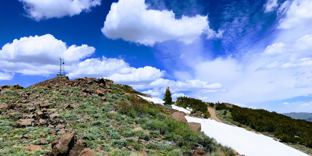
W6/SN-039, Leviathan Peak

Activation Date: 4 June 2017
Transport: Hike Distance: .5 miles
Elev. gain: 100ft Time: 15 minutes
Rig(s): FT-817, VX-2R Band(s): 40m, 20m SSB; 2m FM
Antenna(s): SOTABeams linked dipole, 12.5 inch flex whip
Cell Service: None (T-Mobile)
Parking: Side of dirt road, near gate
Trailhead: N/A
Fees/Permits: None
Route: Leviathan Lookout Road
Dogs: Unsure  Toilet: No

This was the second of the two “drive-up” summits I had planned for my trip back from the White Mountains. How could I resist the chance to drive through Monitor Pass—perhaps one of the most scenic mountain passes in the United States?  How could I resist activating a summit with a name like Leviathan Peak? The weather sure didn’t plan on stopping me!  What a beautiful day.

Continue reading →

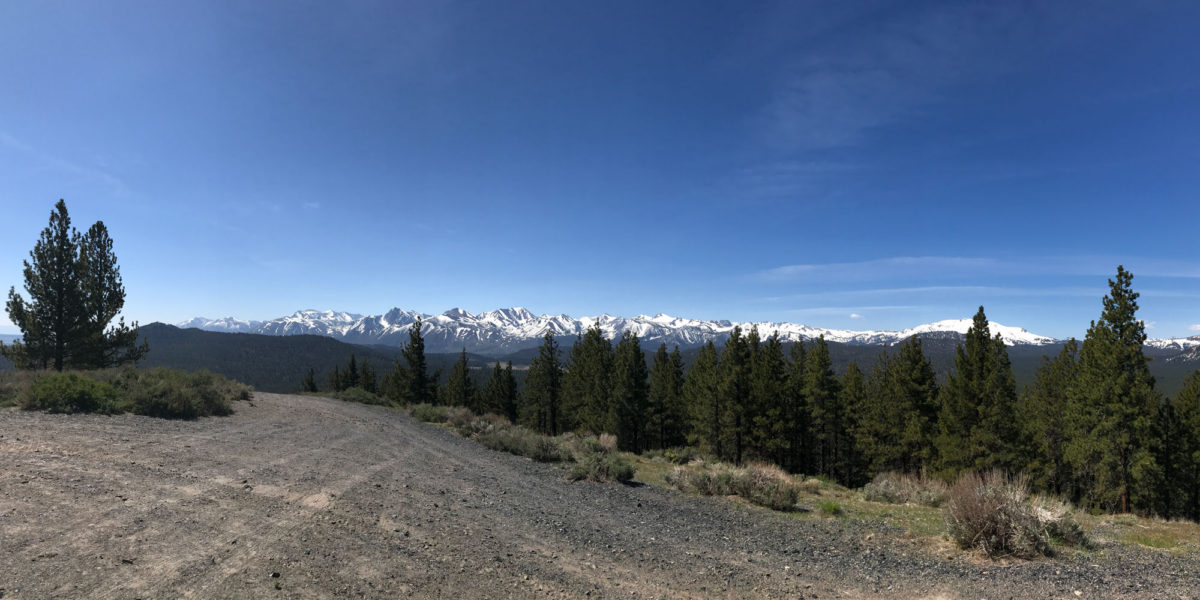
W6/ND-037, Lookout Mountain

Activation Date: 4 June 2017
Transport: Drive/walk Distance: 50 yards
Elev. gain: 50 feet Time: 3 minutes
Rig(s): FT-817, VX-2R Band(s): 40m, 20m SSB
Antenna(s): End-fed half-wave, 12.5 inch flex whip
Cell Service: Decent (T-Mobile)
Parking: Side of dirt road, just down from summit
Trailhead: N/A
Fees/Permits: None
Route: Lookout Mountain Road
Dogs: Yes  Toilet: No

This is one I wished I had documented a bit more.  It’s one of two summits I wanted to activate on my way home from the White Mountains. I didn’t do any video, and only took two pictures.  At the time I wasn’t thinking of it as much of a special summit, since it was a drive-up summit.  But reflecting on it, there were lots of unique aspects making it an interesting activation.

Continue reading →

W6/WH-007, Clem Nelson Peak

Activation Date: 3 June 2017
Transport: Hike Distance: 2.8 miles
Elev. gain: 940ft Time: 1.5-2 hours
Rig(s): FT-817, VX-2R Band(s): 40m, 20m SSB; 2m FM
Antenna(s): Linked dipole, 12.5 inch flex whip
Cell Service: Marginal (T-Mobile)
ParkingSchulman Grove Visitor Center, $3 per person, max $6 per vehicle
TrailheadSchulman Grove Visitor Center, west side
Fees/Permits: None
Route: Discovery trail, cross-country
Dogs: Yes  Toilet: Yes

My second peak of the day, I did this one after a nice break at the Schulman Grove visitor center. Earlier on in the day, I had gotten there before the visitor center was open, and couldn’t figure out where or how to pay the parking/day-use fee. When I got back from the first hike, the visitor center was open (and had visitors!).  I went in and got a fridge magnet, and chatted with the very friendly rangers that staff the center.  Returning to my car in the parking lot, I ran across a man who’d locked his keys in his truck.  I offered my help, though I knew not what to do.  He said he planned on breaking the window after trying various other means.  I didn’t stick around long enough to find out what he was going to do.  I figured I’d help him somehow, upon my return. Later, it appeared he was able to get into his vehicle. It was gone, with no sign of broken glass.  On with my hike to Clem Nelson Peak!

Continue reading →

W6/WH-009, 10660 – White Mountains

Activation Date: 3 June 2017
Transport: Hike Distance: 2.6 miles
Elev. gain: 600ft Time: 1.5 hours
Rig(s): FT-817, VX-2R Band(s): 40m, 20m SSB
Antenna(s): Linked dipole, 12.5 inch flex whip
Cell Service: Marginal (T-Mobile)
Parking: Schulman Grove Visitor Center, $3 per person, max $6 per car
Trailhead: Schulman Grove Visitor Center, south side
Fees/Permits: None
Route: Mexican Mine trail, cross-country
Dogs: Yes  Toilet: Yes

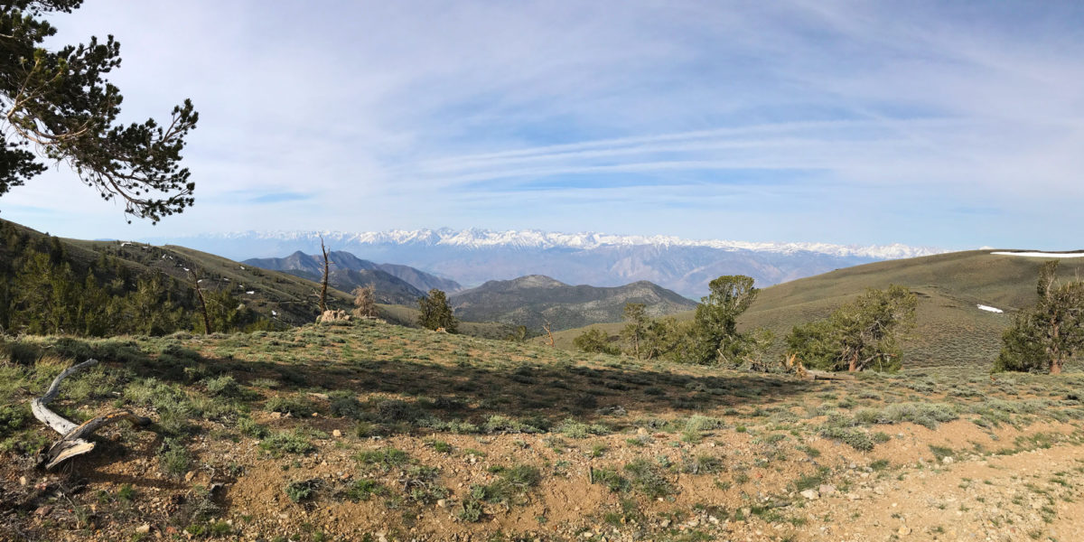
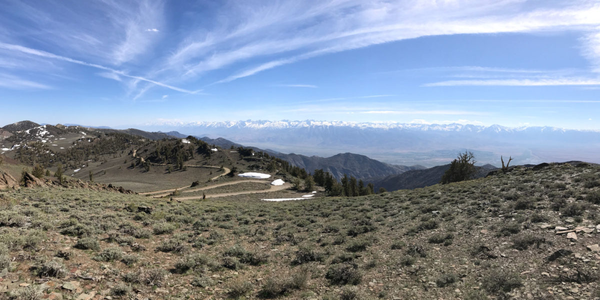
This was the first of two summits for this day. I originally had more ambitious plans, but as covered in my post on the other unnamed peak (10940), I had limited access to the summits here in the White Mountains.  Also, with the elevation and some minor stomach issues, I wasn’t feeling super energetic. I did get an early start to the day, heading up to “Sierra View” to enjoy breakfast while watching the sun rise, casting a golden glow on the Eastern Sierras.  I arrived at the visitor center bright and early, parking right near the trailhead for the Mexican Mine trail.  This trail would take me pretty close to the destination peak — unnamed peak 10660, or referred to on some maps as “Mexican Mine Peak.”

Continue reading →

W6/WH-008, 10940

Activation Date: 2 June 2017
Transport: Hike Distance: <100 yards
Elev. gain: 100ft Time: 15 minutes
Rig(s): FT-817 Band(s): 40m, 20m SSB
Antenna(s): SOTABeams Linked Dipole
Cell Service: Marginal (T-Mobile)
Parking: Free – roadside
Trailhead: White Mountain Road
Fees/Permits: None
Route: Cross country
Dogs: Yes  Toilet: No

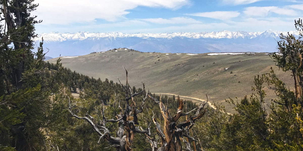
Out of the several peaks I planned to activate in the White Mountains, this unnamed peak “10940” was the easiest to get to, and one I had planned on doing last.  That planned changed, as plans often do in the mountains.  First of all, I brought my VW Passat wagon, rather than my AWD Honda Pilot. So once White Mountain Road went from paved to unpaved, things got slow—really slow. The road doesn’t seem to get much maintenance, and it’s probably a difficult road to maintain with the harsh weather conditions and remoteness of it. So it took me almost 40 minutes to cover the 5 miles of unpaved road. A high-clearance vehicle (even not 4×4) would have a much easier time. Either way, make sure your spare tire is ready!

Continue reading →

W6/SC-261, Pinyon Peak (failed)

Activation Date: 27 May 2017
Transport: Run/Hike Distance: 7.8 miles
Elev. gain: 2,200ft Time: 2.2 hours
Rig(s): VX-2R Band(s): 2m FM
Antenna(s): MFJ Long-ranger
Cell Service: Marginal (T-Mobile)
Parking: Free
Trailhead: Carmel Valley Ranch, Oak Pl Ln
Fees/Permits: None
Route: Huff n’ Puff, Snively’s Ridge trails
Dogs: Yes  Toilet: No

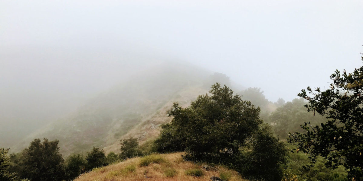
Pinyon Peak is an as-yet unactivated peak. I was in the area for the weekend, so it was calling to me. I decided to do this one as a trail run, since I needed to do one for training/exercise, and because the other route to Pinyon Peak looked a lot steeper.  My friends and family thought I was crazy for wanting to get up early to go run up hills when there were perfectly good beach trails nearby. What can I say? I’m a mountain man.

Continue reading →