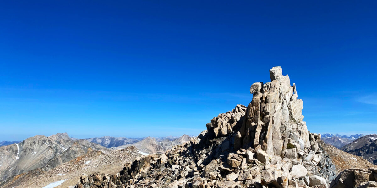
Red Star Ridge – W6/NS-396

Activation Date: 1 September 2018
Transport: Drive/Hike Distance: 1.2 miles
Elev. gain: 280 feet Time: 25-30 minutes
Rig(s): MTR-3B Band(s): 40m, 20m, 30m (cw)
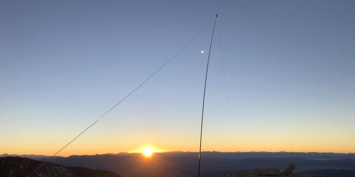
Antenna(s): End-fed half-wave
Cell Service: Fair (T-Mobile)
Parking: Junction of FS96 and Tevis Cup Trail
Trailhead: Tevis Cup Trail, Red Star Ridge
Fees/Permits: None
Route: Take trail up several switchbacks, then off-trail to summit
Dogs: Yes Toilet: Yes
Antenna Support: Tall trees RF Noise: Very Low

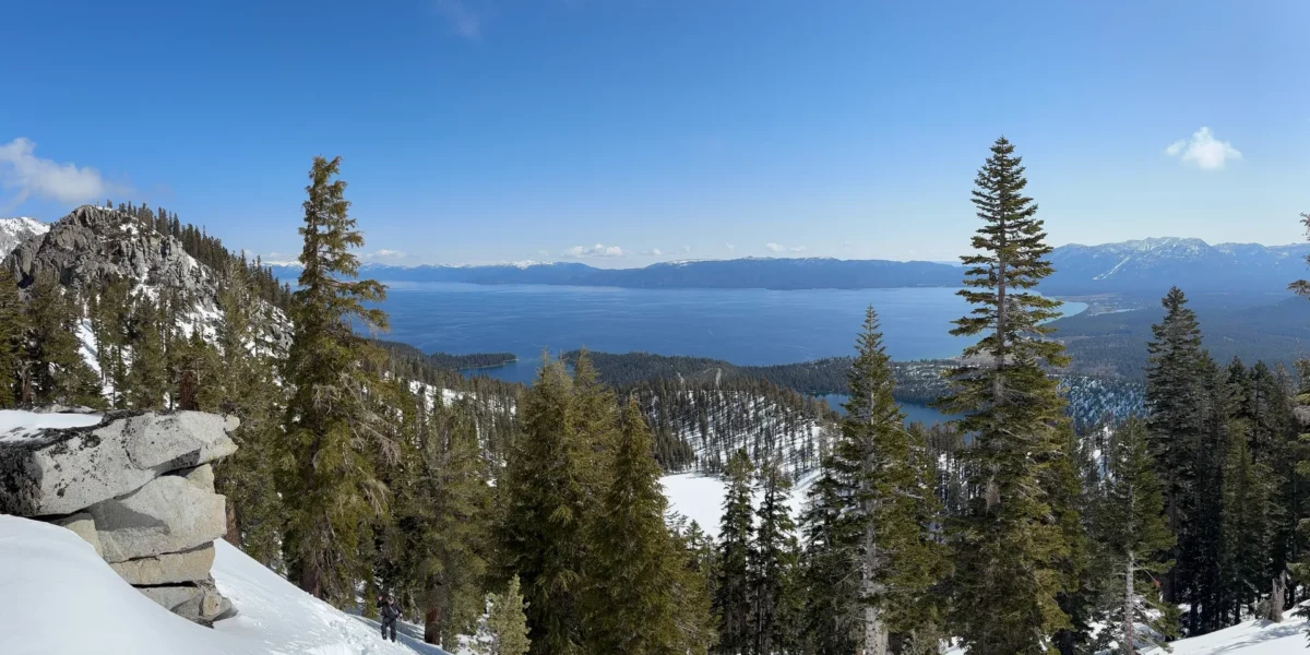
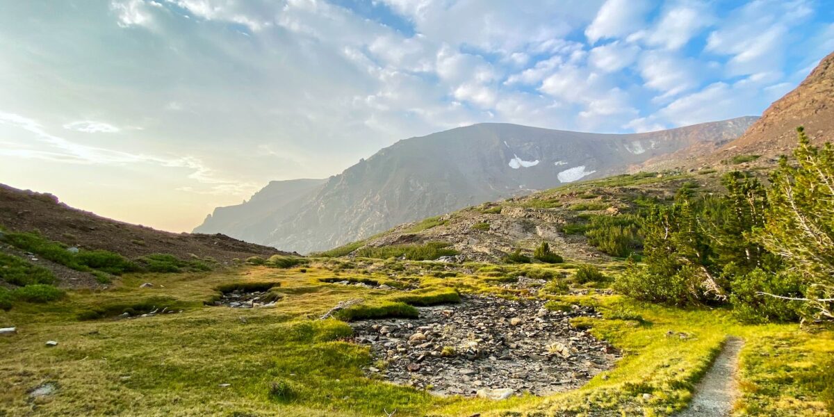
I usually try to squeeze in a little SOTA action on most of my trips, even if they’re not SOTA-related.  I have an annual group camping trip my family and several other families go on.  This year, it was at an area called “French Meadows” tucked away in the wilderness east of Lake Tahoe. I looked at a few different summits. Originally, I was planning on getting a more difficult one, but the more I looked at it, the more it looked like an all-day excursion—not very good when I’m supposed to be with my friends and family.  I ended up setting my sights on this one—a previous un-activated drive-up summit with a very short hike.  But the road to it is a rough one!

Continue reading →

Lowell Hill Ridge – W6/NS-306

Activation Date: 25 August 2018
Transport: Drive/Hike Distance: 0.9 miles
Elev. gain: 140 feet Time: 20 minutes
Rig(s): FT-891 Band(s): 40m, 20m (cw)
Antenna(s): End-fed half-wave
Cell Service: Fair (T-Mobile)
Parking: Wide spot in the road
Trailhead: N/A
Fees/Permits: None
Route: South from parking, turn east up overgrown road, find trail thru woods
Dogs: Yes Toilet: Yes
Antenna Support: Trees – lots RF Noise: Low

This was the second (and final) summit of the day with my boys and the dogs, after Grouse Ridge.  I had an optional third one planned, but things always take longer when kids and dogs are involved!  This summit is another easy one, with most of the difficulty being the drive there. It’s something that could theoretically be done in a sedan (as Jeff AA6XA can attest), but I’d definitely feel more comfortable getting here in a higher clearance vehicle, ideally with AWD.  That’s what I did for this trip.

Continue reading →

Grouse Ridge – W6/NS-195

Activation Date: 25 August 2018
Transport: Drive/Hike Distance: 0.5 miles
Elev. gain: 180 feet Time: 10-15 minutes
Rig(s): MTR-3B, FT-891 Band(s): 40m (cw+ssb), 20m (cw)
Antenna(s): Linked Dipole – 40/20m
Cell Service: Marginal (T-Mobile)
Parking: End of Grouse Ridge Road
Trailhead: N/A
Fees/Permits: None
Route: Go up the road, past the gate
Dogs: Yes Toilet: Yes
Antenna Support: Some trees below summit / lookout RF Noise: Low

This was the first summit of two for the day. Being just a little bit crazy, I decided I’d take my two sons and our two dogs up to the Sierras for a day of SOTA fun. I wanted to do summits that involved little to no hiking, to save time and make it easy on the boys and our older dog.  Also, I really wanted to get this summit done after missing an opportunity to get it last year.  So up we went!

Continue reading →

Mount Davidson – W6/NC-423

Activation Date: 15 August 2018
Transport: Hike Distance: 0.5 miles
Elev. gain: 140 feet Time: 10-15 minutes
Rig(s): MTR-3B, VX-2R Band(s): 40m, 20m (cw), 2m, 70cm (fm)
Antenna(s): End-Fed Half-Wave
Cell Service: Excellent (T-Mobile)
Parking: Dalewood Way
Trailhead: South Entrance
Fees/Permits: None
Route: Walk to the top
Dogs: Yes Toilet: No
Antenna Support: Lots of tall trees RF Noise: Medium

This is one of those urban summits that are great to do if you happen to be in the area. I’d driven my car up to San Francisco (I normally take the train) and decided to do a quick activation of this summit on the way back. I’d done it once before, so there was no mystery as to the length of time it’d take, or where I’d set up.

Continue reading →

Vollmer Peak – W6/NC-298 – 2018

Activation Date: 28 July 2018
Transport: Hike Distance: 1.25 miles
Elev. gain: 220ft Time: 20-25 minutes
Rig(s): VX-2R Band(s): 2m FM
Antenna(s): 12.5-inch whip
Cell Service: Strong (T-Mobile)
Parking: Seaview Trailhead
Trailhead: Vollmer Peak
Fees/Permits: None
Route: Vollmer Peak Trail
Dogs: Yes Toilet: Yes
Antenna Support: Trees
RF Noise: Moderate

After attending the Bay Area SOTA meet-up, I still had time to do a quick activation on the way home. Keeping with my clockwise trip around the Bay Area to avoid traffic and tolls, I chose Vollmer Peak. It’s a quick east-Bay summit with the parking a little over a half-mile from the top. It turned out to be a little bit of a rough activation!

Continue reading →

Richardson East Benchmark – W6/NC-407

Activation Date: 28 July 2018
Transport: Hike Distance: 1.9 miles
Elev. gain: 590 feet Time: 40 minutes
Rig(s): MTR-3B Band(s): 40m/20m (cw)
Antenna(s): QRPGuys Tri-band Vertical
Cell Service: Good (T-Mobile)
Parking: Spencer Ave Park & Ride
Trailhead: Morning Sun Trail – across the street
Fees/Permits: None
Route: Morning Sun, Alta Trails. Dirt road to summit.
Dogs: Yes Toilet: No
Antenna Support: None – bring your own RF Noise: Moderate

As you’ll see in this report, the featured photo is not from this trip. It’s from the first time I went – early last year. This year, I did this summit as a quick little activation prior to our SF Bay Area SOTA meet-up.  Jeff, AA6XA (see his blog), had the idea of starting up a quarterly meet-up for Bay Area SOTA people.  We change locations each time, since the Bay Area is pretty big, and we’d like to be able to activate different summits in the various areas.  I wasn’t sure I’d be able to do a summit after the brunch, so I picked this one to do on the way to our meeting.

Continue reading →

Green Mountain – W7W/RS-074

Activation Date: 22 July 2018
Transport: Drive-Up / Short Hike Distance: 0.5 miles
Elev. gain: 120 feet Time: 12 minutes
Rig(s): MTR-3B, FT-817 Band(s): 40m/20m (cw/ssb)
Antenna(s): Linked EFHW 40/30/20m
Cell Service: Moderate (T-Mobile)
Parking: Summit Lot, via Green Mountain Summer Road
Trailhead: Vista Trail
Fees/Permits: Discover Pass ($11.50 daily, $35 annual)
Route: Walk up the Vista Trail
Dogs: Yes Toilet: Yes
Antenna Support: Lots of trees, fence RF Noise: Low

I was up in my home state of Washington (not DC) for a family wedding and wanted to squeeze in a little bit of SOTA fun.  This summit fit the bill, and also looked like it’d be really enjoyable, with a good view.  Too bad I injured my knee just a few days before the trip!  But not to worry: it turns out this summit has a drive-up option if you don’t mind a few miles of dirt road.

Continue reading →

Mount Umunhum – W6/CC-052 – 2018

Activation Date: 16 July 2018
Transport: Drive-Up / Walk Distance: 159 stairs
Elev. gain: 100 feet Time: 10 minutes
Rig(s): VX-2R, GD-77 Band(s): 2m/70cm (fm/dmr)
Antenna(s): 12.5″ whip
Cell Service: Moderate (T-Mobile)
ParkingSummit Lot
TrailheadN/A
Fees/Permits: None
Route: Walk up the stairs
Dogs: No! Toilet: Yes
Antenna Support: Couple of short trees RF Noise: Med-High

Mount Umunhum is very close to me “as the bird flies,” but it takes almost an hour to get there.  Nonetheless, with the family out of town I decided to do this drive-up summit after work one day.  It may be an hour drive each way, but there’s just a few minutes of walking up some stairs to get to the top. Last time I activated it, it was in the fog. This time I was able to see a lot more!

Continue reading →

Chabot 2 Benchmark, W6/NC-432 – 2018

Activation Date: 8 July 2018
Transport: Hike Distance: 1.8 miles
Elev. gain: 300 feet Time: 40 minutes
Rig(s): MTR-3B Band(s): 40/20m (cw)
Antenna(s): End-Fed Half-Wave
Cell Service: Excellent (T-Mobile)
ParkingSmall lot at trailhead, or side of road
Trailhead: Fairmont Ridge Staging Area
Fees/Permits: None
RouteFairmont Ridge, stay right of eucalyptus trees
Dogs: Yes (off-leash OK) Toilet: No
Antenna Support: Lots of trees and fences RF Noise: Low

Named “Chabot 2 Benchmark” for SOTA, this is actually “Fairmont Ridge.” I’m sure there’s a benchmark with that name somewhere inside the fenced area, but I haven’t been there.  This is one of the easiest local peaks and this year I’d been saving activating it for when Austin, K6ABM aka “DietSOTA” and I were able to meet up.  We finally made it happen!

Continue reading →

Coyote Peak, W6/NC-399 and Winter Field Day 2018

Activation Date: 28 January 2018
Transport: Hike Distance: 2.4 miles
Elev. gain: 600 feet Hiking Time: 50 minutes
Rig(s): Yaesu FT-817ND Band(s): 40m, 20m
Antenna(s): End-fed half-wave (HF)
Cell Service: Good (T-Mobile)
Parking: Pueblo Day Use Area
Trailhead: Mine Trail / Hidden Springs Trail
Fees/Permits: $6 parking – Santa Teresa County Park
Route: Hidden Springs Trail to Coyote Peak Trail
Dogs: Yes  Toilet: Yes
Antenna Support: Shrubs, rocks. No trees. RF Noise: Low-medium (HF), High (VHF)

I wanted to get out to an easy summit to operate Winter Field Day for a couple of hours. I ended up only getting about an hour, but it was a good hour! I’ve done this summit a few times, but this is the first time it’s in my blog. It’s a short, fairly easy hike, and not too far of a drive from my house.

Continue reading →