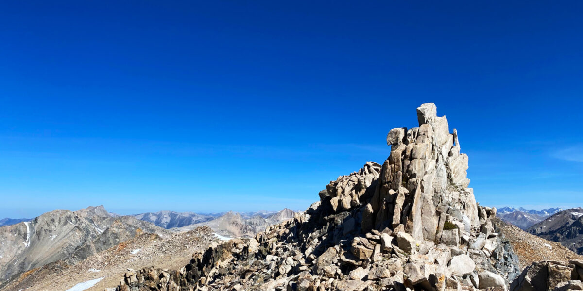
Copernicus Peak, W6/NC-029

Activation Date: 9 December 2017
Transport: Drive-Up, Short Walk Distance: .4 miles
Elev. gain: 180 feet Time: 15 minutes
Rig(s): LNR Precision MTR-3B, Yaesu VX-2R Band(s): 30, 20, 40m CW, 2m FM
Antenna(s): End-fed half-wave, 12-inch whip
Cell Service: Marginal (T-Mobile)
Parking: Side of the road, CA-130
Trailhead: N/A
Fees/Permits: Permission needed
Route: Up road, trail past lookout
Dogs: No  Toilet: Yes, near observatory

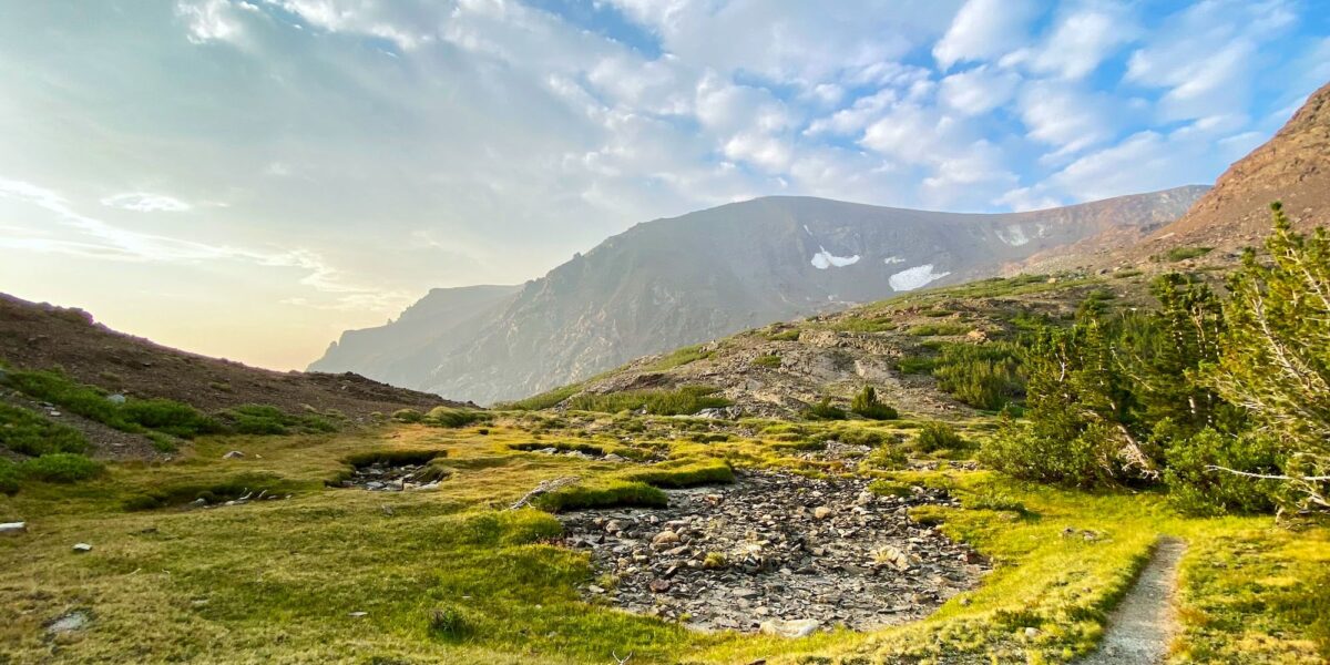
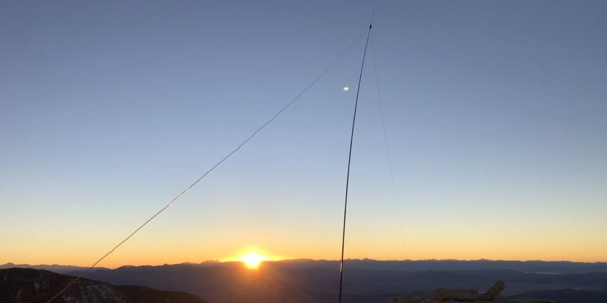
I’d been wanting to do this activation before the end of the year, but kept putting it off because it’s easy, but also kind of a long drive for something that looks so close. It’s easily visible from my house on most days, being the only summit around with several big telescopes.  But it’s an hour or more to drive there.  This one had several firsts for me! First European DX—Spain. First aeronautical mobile contact. First time getting more than 50 QSOs in a single activation. My timing turned out to be quite good!

Continue reading →

Ben Lomond Mountain, W6/NC-178

Activation Date: 29 November 2017
Transport: Drive-Up Distance: N/A
Elev. gain: N/A Time: 5 minutes
Rig(s): LNR Precision MTR-3B Band(s): 30m CW
Antenna(s): End-fed half-wave
Cell Service: None
Parking: Side of Empire Grade
Trailhead: N/A
Fees/Permits: None
Route: N/A
Dogs: N/A  Toilet: No

I was over in Santa Cruz for work, so decided to make a “quick” detour on the way back over the hill so I could activate this summit. I’ve had my eye on it for a while, so I posted an alert on SOTAWatch and squeezed in some time to do it. The detour isn’t actually very “quick,” but it’s within reason.

Continue reading →

San Benito Mountain, W6/CC-021

Activation Date: 18 November 2017 (local time)
Transport: Drive-Up, Short Walk Distance: 0.8 miles
Elev. gain: 200ft Time: 15 minutes
Rig(s): LNR Precision MTR-3B Band(s): 20,40m CW
Antenna(s): End-fed half-wave, Linked dipole
Cell Service: Marginal LTE (T-Mobile)
ParkingSide of road R10
Trailhead: Side of road R10
Fees/Permits: Multiple permits—see post on Peak 4850
Route: Park near summit, short walk to top
Dogs: Yes  Toilet: No

Out of the three summits we did on this trip, this one was the easiest. Parking a short distance from the summit, it’s an easy walk up a gentle grade. There are abundant places to set up antennas and the summit area is fairly large. There’s even a little bit of cell service! After the (mis)adventures of the earlier summits (4850 and Santa Rita Peak), it was nice to have a little break.

Continue reading →

Santa Rita Peak, W6/CC-022

Activation Date: 18 November 2017 (local time)
Transport: Drive-Up, short hike Distance: 1 mile
Elev. gain: 250ft Time: 20 minutes
Rig(s): LNR Precision MTR-3B, Yaesu VX-2R Band(s): 20m CW, 2m/70cm FM
Antenna(s): End-fed half-wave, 12-inch whip
Cell Service: None (T-Mobile)
ParkingSide of road R11
Trailhead: Side of road R11
Fees/Permits: Multiple permits—see post on Peak 4850
Route: Dirt road to summit col, small trail to activation zone
Dogs: Yes  Toilet: No

This (almost) drive-up summit was one of the most difficult “easy” summits I’ve activated. After having completed the intense bushwhacking on Peak 4850, I was looking forward to an easy summit. This one would turn out to be deceptively hard, thanks to a crazy guy on a dirt bike.

Continue reading →

W6/NC-298, Vollmer Peak

Activation Date: 21 October 2017
Transport: Hike Distance: 1.25 miles
Elev. gain: 230ft Time: 25-30 minutes
Rig(s): Yaesu FT-817, VX-2R Band(s): 40m, 20m SSB, 2m FM
Antenna(s): Linked Dipole, 12.5-inch whip
Cell Service: Strong (T-Mobile)
Parking: Seaview Trailhead
Trailhead: Vollmer Peak
Fees/Permits: None
Route: Vollmer Peak Trail
Dogs: Yes  Toilet: Yes

After attending the SOTA lunch at Pacificon, I wanted to go grab a quick/easy summit. Vollmer Peak has been on the list for a while. It’s a very short hike and it was relatively close to San Ramon, where lunch was.  It’s not the most exciting summit, but it does have a couple of nice views.

Continue reading →

Chabot 2 Benchmark, W6/NC-432

Activation Date: 30 September 2017
Transport: Hike Distance: 1.8 miles
Elev. gain: 300 feet Time: 40 minutes
Rig(s): FT-817, VX-2R Band(s): 2m, 70cm FM
Antenna(s): 12.5-inch flex whip
Cell Service: Excellent (T-Mobile)
Parking: Small lot at trailhead, or side of road
Trailhead: Fairmont Ridge Staging Area
Fees/Permits: None
Route: Fairmont Ridge, stay right of eucalyptus trees
Dogs: Yes (off-leash area)  Toilet: No

Well, it finally happened: I forgot a critical component of my system.  I hiked up to the activation zone, got my antenna nicely set up in a tall tree, hooked everything up and went to turn on the radio—no power!

Continue reading →

Mount Umunhum, W6/CC-052

Activation Date: 20 September 2017
Transport: Hike Distance: 159 stairs
Elev. gain: 100 feet Time: 10 minutes
Rig(s): Yaesu VX-2R Band(s): 2m, 70cm FM
Antenna(s): 12.5 inch flex whip
Cell Service: Moderate (T-Mobile)
Parking: Summit Lot
Trailhead: N/A
Fees/Permits: None
Route: Walk up the stairs
Dogs: No  Toilet: Yes

Ever since moving to the SF Bay Area, I’ve wanted to explore this summit. When I first moved here about 10 years ago, I wondered what the big “cube” was on top of the mountain. After finding out what it was, and that it was closed to the public, I really wanted to go there. Having patiently waited years, the time finally came—it opened to the public on September 18th, 2017.

Continue reading →

Oak Hill, W1/HA-179

Activation Date: 14 August 2017
Transport: Car Distance: 25 yards
Elev. gain: N/A Time: 5 minutes
Rig(s): FT-817, VX-2R Band(s): 40m, 20m SSB
Antenna(s): End-fed half-wave, 12.5 inch flex whip
Cell Service: Excellent (T-Mobile)
Parking: At the top of the hill
Trailhead: N/A
Fees/Permits: None
Route: N/A
Dogs: Yes  Toilet: No

For my family reunion, most of my siblings and I stayed at a chalet in Madison, New Hampshire. Very near where we were staying was this drive-up SOTA summit. I actually ended up visiting several times, and doing SOTA operations twice. The view is absolutely amazing.  The day I activated this summit, I tried twice. The first one, at sunrise, was completely unsuccessful with zero contacts made.  The second one, at sunset, was successful, but zero points with only three contacts made.

Continue reading →

W6/SC-155, Mount Bielawski

Activation Date: 4 July 2017
Transport: Hike Distance: <1 mile
Elev. gain: 175ft Time: <30 minutes
Rig(s): FT-817, VX-2R Band(s): 40m, 20m SSB
Antenna(s): End-fed half-wave, MFJ Long-ranger
Cell Service: Marginal (T-Mobile)
Parking: Free roadside, $8 in parking lot
Trailhead: Castle Rock State Park Main Entrance
Fees/Permits: None
Route: Castle Rock Trail
Dogs: No  Toilet: Yes

Mount Bielawski, also known as Mount McPherson, is located on private property. It’s probably possible to get permission to go to the summit proper, but for me it’s a good excuse to visit Castle Rock State Park—a beautiful park on the west side of the Santa Cruz mountains, and a very popular spot for rock climbers.

I had looked at various ways I might activate this summit—including the possibility of just hanging out on the road right below it. In the end, I decided it would be most enjoyable to hike up the Castle Rock Trail—a short trail that starts at the entrance to the state park and loops around right by the park’s namesake peak, Castle Rock.  Having looked at the contour map(s) for this area repeatedly, I decided that most of the ridge along the southeast little corner of the park was within the activation zone.  I wasn’t going to be completely certain until I saw for myself. Continue reading →

W6/SN-039, Leviathan Peak

Activation Date: 4 June 2017
Transport: Hike Distance: .5 miles
Elev. gain: 100ft Time: 15 minutes
Rig(s): FT-817, VX-2R Band(s): 40m, 20m SSB; 2m FM
Antenna(s): SOTABeams linked dipole, 12.5 inch flex whip
Cell Service: None (T-Mobile)
Parking: Side of dirt road, near gate
Trailhead: N/A
Fees/Permits: None
Route: Leviathan Lookout Road
Dogs: Unsure  Toilet: No

This was the second of the two “drive-up” summits I had planned for my trip back from the White Mountains. How could I resist the chance to drive through Monitor Pass—perhaps one of the most scenic mountain passes in the United States?  How could I resist activating a summit with a name like Leviathan Peak? The weather sure didn’t plan on stopping me!  What a beautiful day.

Continue reading →