| Activation Date: 15 July 2017 | |
| Transport: Hike | Distance: 4 miles |
| Elev. gain: 1,300ft | Time: 1.6 hours |
| Rig(s): FT-817, VX-2R | Band(s): 40m SSB |
| Antenna(s): End-fed half-wave, 12.5 inch flex whip | |
| Cell Service: Solid (T-Mobile) | |
| Parking: Free roadside or ball field | |
| Trailhead: Hillside Blvd, near school | |
| Fees/Permits: None | |
| Route: Fire Road 2, Ridge Trail | |
| Dogs: No | Toilet: No |
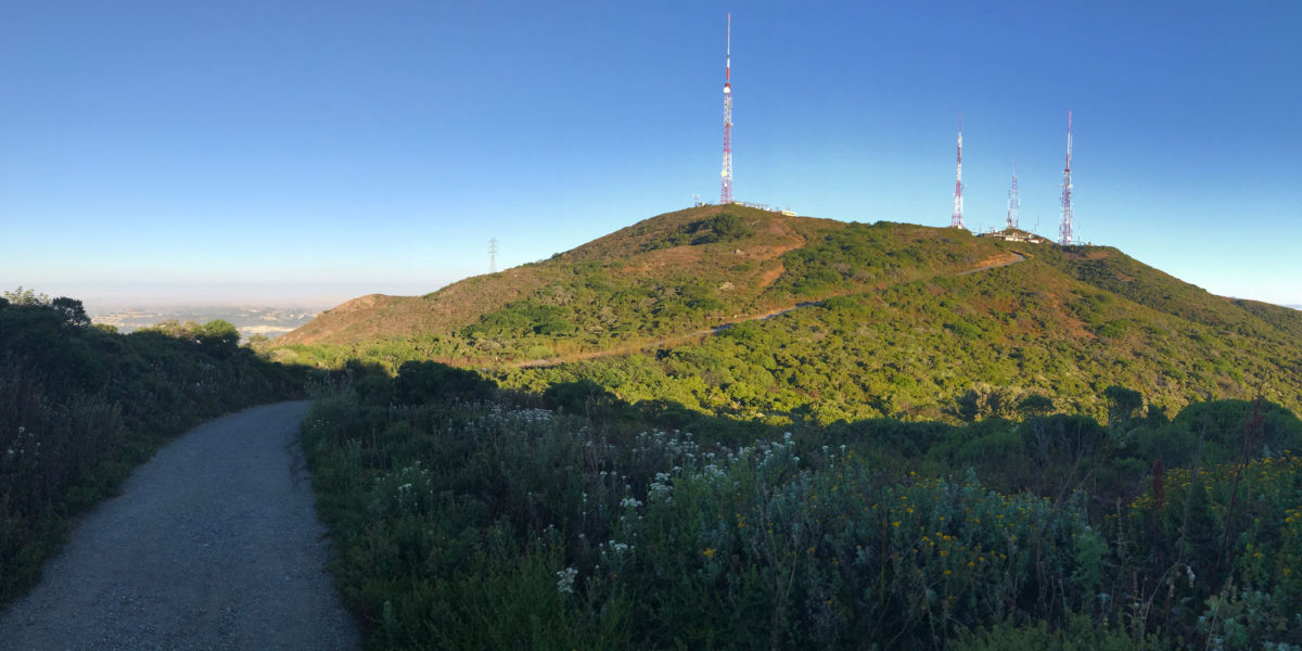
I’ve had my eye on San Bruno Mountain since long before I was a ham. Having worked at San Francisco International Airport back in 2007-2009, I wondered what it would be like to hike to the top and watch the big planes take off (it’s 5 miles away). I also noted all of the big transmission towers on the top, and figured it was probably closed to public access. It took Summits on the Air to give me enough reason to actually go do it.

