| Activation Date: 4 July 2017 | |
| Transport: Hike | Distance: <1 mile |
| Elev. gain: 175ft | Time: <30 minutes |
| Rig(s): FT-817, VX-2R | Band(s): 40m, 20m SSB |
| Antenna(s): End-fed half-wave, MFJ Long-ranger | |
| Cell Service: Marginal (T-Mobile) | |
| Parking: Free roadside, $8 in parking lot | |
| Trailhead: Castle Rock State Park Main Entrance | |
| Fees/Permits: None | |
| Route: Castle Rock Trail | |
| Dogs: No | Toilet: Yes |
Mount Bielawski, also known as Mount McPherson, is located on private property. It’s probably possible to get permission to go to the summit proper, but for me it’s a good excuse to visit Castle Rock State Park—a beautiful park on the west side of the Santa Cruz mountains, and a very popular spot for rock climbers.
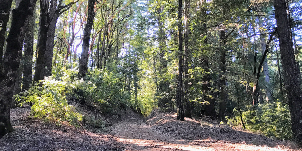
I had looked at various ways I might activate this summit—including the possibility of just hanging out on the road right below it. In the end, I decided it would be most enjoyable to hike up the Castle Rock Trail—a short trail that starts at the entrance to the state park and loops around right by the park’s namesake peak, Castle Rock. Having looked at the contour map(s) for this area repeatedly, I decided that most of the ridge along the southeast little corner of the park was within the activation zone. I wasn’t going to be completely certain until I saw for myself. Continue reading →

